Weather Sources
Where Pilots Get Weather Information
Every flight starts with a weather check. The FAA provides multiple official sources. Drone pilots must know where to get reliable, current weather before takeoff.
| Source | What it provides |
|---|---|
| METAR | Routine aviation weather observation — updated hourly or as conditions change |
| TAF | Terminal Aerodrome Forecast — 24-30 hour forecast for specific airports |
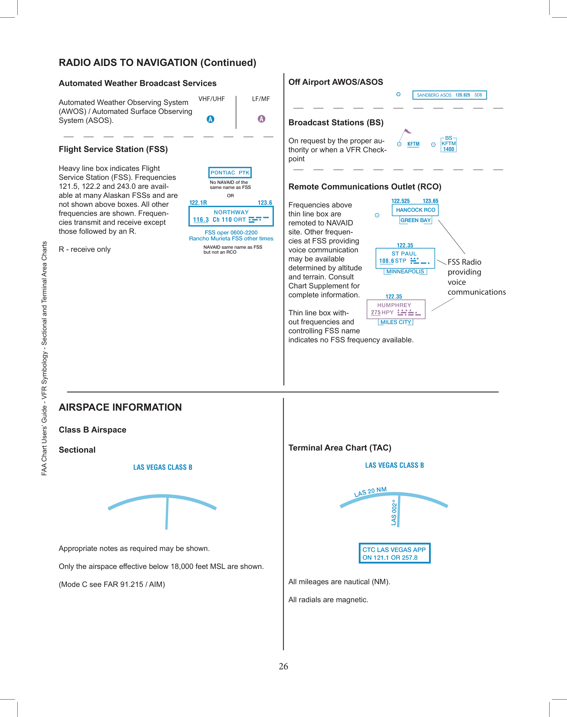
| AWOS/ASOS | Automated weather stations at airports — real-time data and broadcast |
| ATIS | Automatic Terminal Information Service — towered airport conditions, updated hourly |
| 1800wxbrief.com | FAA-contracted online weather briefing service for pilots |
| Area Forecast | Regional weather outlook covering larger geographic areas |
Part 107 rule
You must check weather sources before flight. Part 107 requires at least 3 SM visibility. If conditions deteriorate during flight, you must land safely.